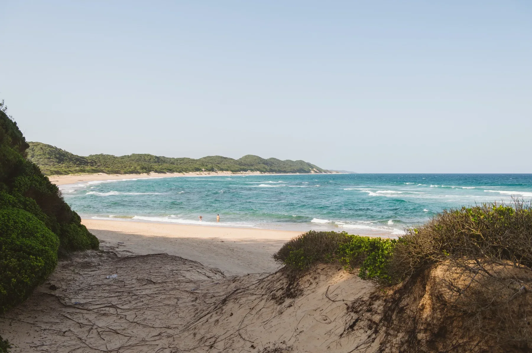
Dune forest
Dense coastal forest grows on old vegetated dunes just behind the beach. Cool, shaded and a short walk from the sea.
BHANGA NEK → SODWANA · MAPUTALAND
A long, barely developed strip of coast where forest, wetland and grassland run almost to the waterline. Lala Nek, Mabibi, turtle beaches and reef-lined bays sit behind the dunes, and most of the country has no idea they're there.
The corridor runs south from Bhanga Nek through Lala Nek and Mabibi towards Sodwana. Dune forest, grassland, wet hollows and Indian Ocean beach repeat down a narrow band of coast, and the only way in is on sand.
Think of this part of Maputaland as a passage rather than a place. Sandy tracks wind past grassland, lala palms, wet hollows and forest, then keep tipping you out onto beaches with nobody on them.
The corridor starts in the north around Bhanga Nek. Heading south, Lala Nek and the Big Skies camps sit just inland from the beach. Mabibi and Thonga Beach Lodge are farther down. Sodwana is the first large, established marine hub beyond the quiet stretch.
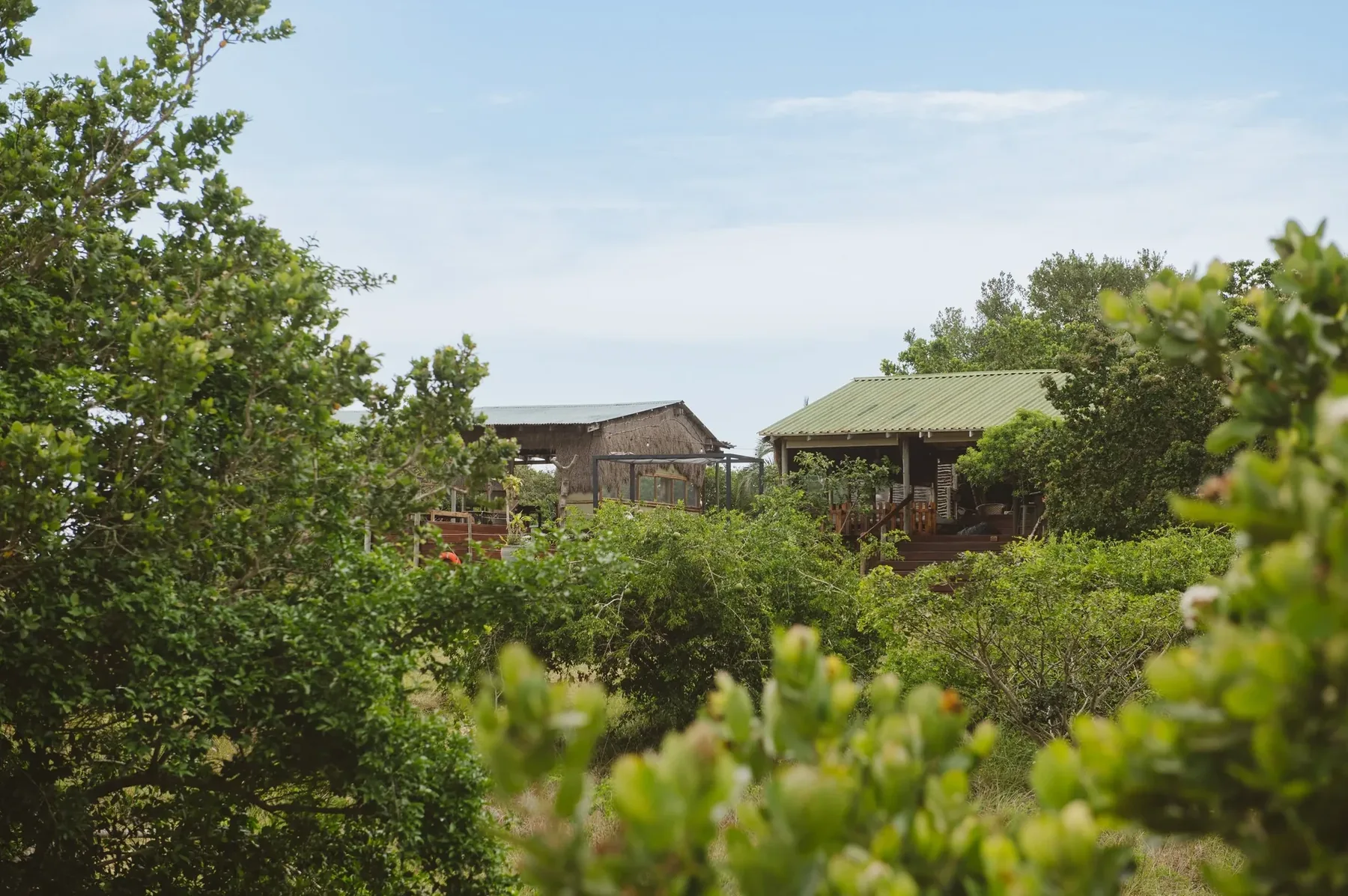
The settlements and lodges sit back from the beach, with sand tracks crossing forest and grassland before they reach the coast.
iSimangaliso calls this section one of the park's most remote wilderness experiences. What makes it work is the mosaic. Dune and forest, grassland and wetland, reef and open ocean, all overlapping within a few hundred metres.
Dense coastal forest grows on old vegetated dunes just behind the beach. Cool, shaded and a short walk from the sea.
Open coastal grassland broken up by umdoni waterberries and lala palms. This is what gives the inland roads their Maputaland look.
Warm water, shallow reef and rocky bays make low-tide snorkelling the simplest way into the marine side of the region.
Lake Sibaya and smaller wet hollows sit immediately inland, which is why a "beach" trip here keeps producing freshwater birds and wildlife.
The wider iSimangaliso landscape holds more than 500 recorded bird species. In this northern coastal mosaic, forest and wetland birds turn up within walking distance of the beach and reef.
This is not a checklist guarantee. These are birds worth learning before you arrive, especially if you're walking forest and wetland with a local guide.
There is no single best month. Turtles, whales, reef conditions, birds and walking all pull the calendar in different directions.
Loggerhead and leatherback turtles define summer nights along the iSimangaliso coast. Nesting and hatchling activity overlap across the season.
Humpback and southern right whales migrate along the coast. You can see them from the beach, or on a licensed ocean trip.
Cooler, drier conditions make forest walks, longer hikes and time away from the water more comfortable.
The ocean is the constant. Reef and rock-pool conditions depend more on swell, sea state and tide than on the month.
Accommodation is spread between Lala Nek, Mabibi and the settlements inland from the coast.
Family-friendly coastal camp with guided beach days, snorkelling, hikes and community experiences.
Small, intimate camp in the coastal forest with a fully inclusive guided experience.
Beach lodge in the dune forest with snorkelling, diving, turtle tracking, forest walks and Lake Sibaya trips.
Small self-catered Big Skies camp listed in the Coastal Forest regional register.
Lala Nek snorkelling, beach days, walks, community experiences and seasonal turtle tracking.
Guided snorkelling, SCUBA, open-ocean trips, forest walks, Lake Sibaya and seasonal turtle activities.
Regional guiding and trip planning from its Kosi Bay base, including birding, snorkelling, kayaking, turtle and wilderness experiences.
This is still one of the least conventional stretches of coastal road in South Africa, and that's exactly why the corridor has kept its character.
Most visitors come in on the paved northern KwaZulu-Natal network and turn east towards the coast from either the Manguzi / Bhanga Nek side or the Mbazwana / Sodwana side, depending on where they're staying.
Once you leave the main roads, expect deep sand and conditions that change with the weather. iSimangaliso describes most of the Coastal Forest section as 4x4 territory, apart from arranged lodge transfers and local guided trips.
Don't rely on an ordinary rental car because a mapping app shows a line. Ask your accommodation what vehicle the final approach needs before you leave the tar.
VEHICLE · FUEL & SUPPLIES · TRANSFERS · PARK ACCESS
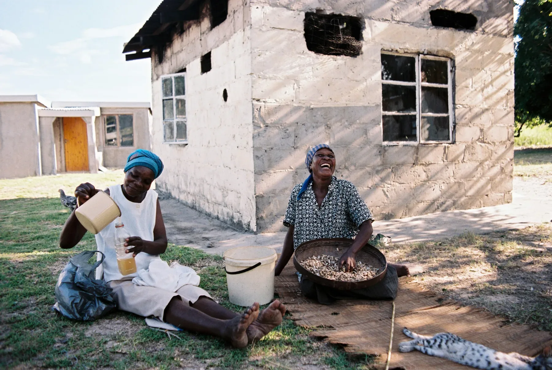
Mabibi, KwaDapha and the neighbouring communities are part of the same landscape you drive through. Tourism, conservation and everyday life overlap here rather than sitting on opposite sides of a fence.
iSimangaliso and conservation partners run community resource hubs in Mabibi, KwaDapha and eNkovukeni, and local guiding, camps and tourism work tie the protected coast directly to the people living beside it.
The Coastal Forest is at its best as a link: Kosi and the lakes to the north, Sodwana and the reefs to the south, Tembe inland. Use the regional map to build it yourself, or hand the logistics to a Visit Maputaland tour-operator member.