Ocean
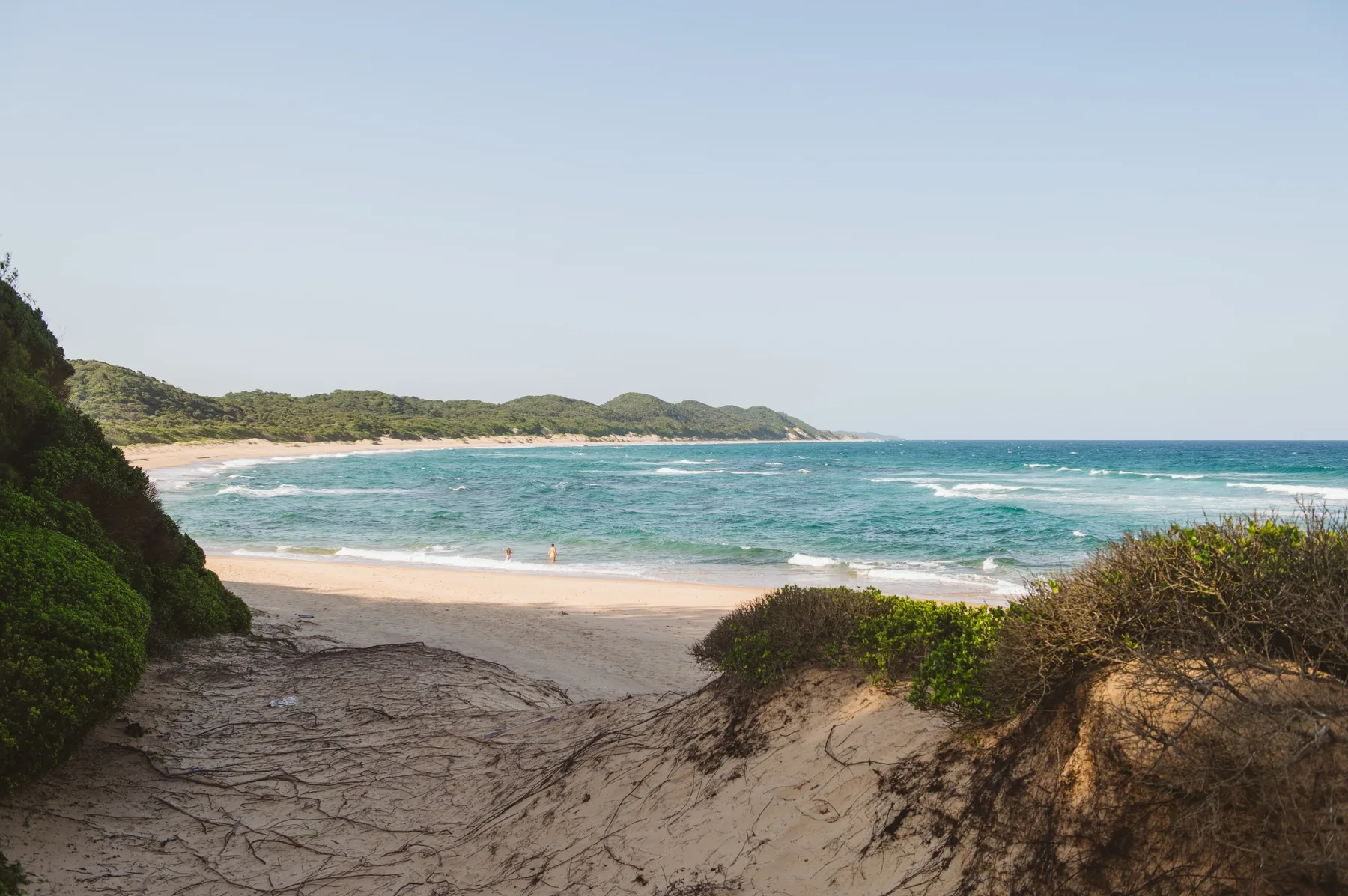
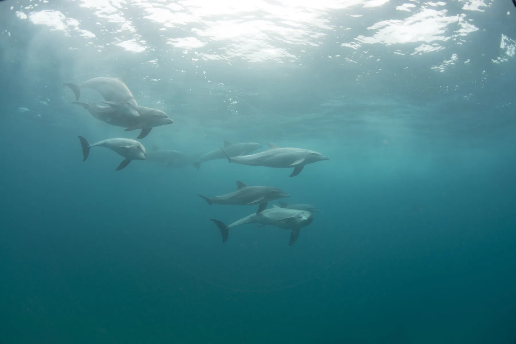
Warm Indian Ocean, long sandy beaches, a turtle-nesting coast and whales and dolphins passing offshore.
THE DEFINITIVE GUIDE
Warm Indian Ocean, coral reefs, wild beaches, freshwater lakes, wetlands, sand forest, savanna, and communities whose roots here go back centuries. It's where tropical Africa and southern Africa meet, and the join shows.
Maputaland is a natural and cultural region in far northern KwaZulu-Natal, South Africa, between the Indian Ocean and the Lebombo Mountains, running north to the Mozambique border. Ecologists use the name more broadly for a region that continues across the border into southern Mozambique and Eswatini. Visit Maputaland covers the South African part.
The thing that defines Maputaland is not any single place. It's how fast the ground changes. Reef becomes beach becomes dune forest. Forest opens onto a lake. Drive inland an hour and you're in sand forest and savanna with elephants in it. That compression is what makes the region work as a trip rather than a destination.
Warm Indian Ocean, long sandy beaches, a turtle-nesting coast and whales and dolphins passing offshore.
Subtropical coral reefs off Sodwana and the northern coast, with diving and snorkelling that feels more Mozambique than South Africa.
The Kosi lake system, Lake Sibaya and a spread of wetlands give Maputaland more freshwater than almost anywhere else on this coast.
Dune forest, swamp forest and rare sand forest. Some of the most distinctive habitats in the country, and some of the least visited.
Tembe and the inland reserves bring elephants, big game and birds into a region most people file under "beach".
Much of Maputaland's coast, lakes and wetlands falls inside iSimangaliso Wetland Park. In 2025 UNESCO approved an extension across the Mozambique border, creating the iSimangaliso Wetland Park–Maputo National Park transboundary World Heritage property.
UNESCO describes the combined property as an exceptional mosaic of marine, coastal, wetland, estuarine, freshwater and terrestrial environments: coral reefs, beaches, dunes, lake systems, swamps, wetlands, mangroves, seagrass beds and savanna. That's a committee's way of saying what anyone who has driven from Sodwana to Kosi Mouth already knows.
UNESCO World Heritage sourceKosi, Lake Sibaya, Sodwana, the Coastal Forest and the inland reserves sit close together on the map but differ sharply in water, vegetation, access and wildlife. Get these five straight and the rest of the planning falls into place.
Interconnected lakes, Kosi Mouth, traditional fish kraals, turtle beaches and the far-north coast against the border.
↗ 02Tembe, Ndumo and the inland sand-forest country. Elephants, birding and conservation run with, not around, the communities who own the land.
↗ 03The largest natural freshwater lake in southern Africa, held behind forested coastal dunes with no river in or out.
↗ 04Reefs, diving, turtle beaches and the most established marine hub in the region.
↗ 05Mabibi, dune forest, remote beaches, rock pools and a handful of small lodges in the trees.
↗FAR NORTHERN KWAZULU-NATAL · BETWEEN THE INDIAN OCEAN AND THE LEBOMBO MOUNTAINS · ISIMANGALISO FORMS A MAJOR PART OF THE REGION · WHERE TROPICAL AND SOUTHERN AFRICAN SYSTEMS MEET
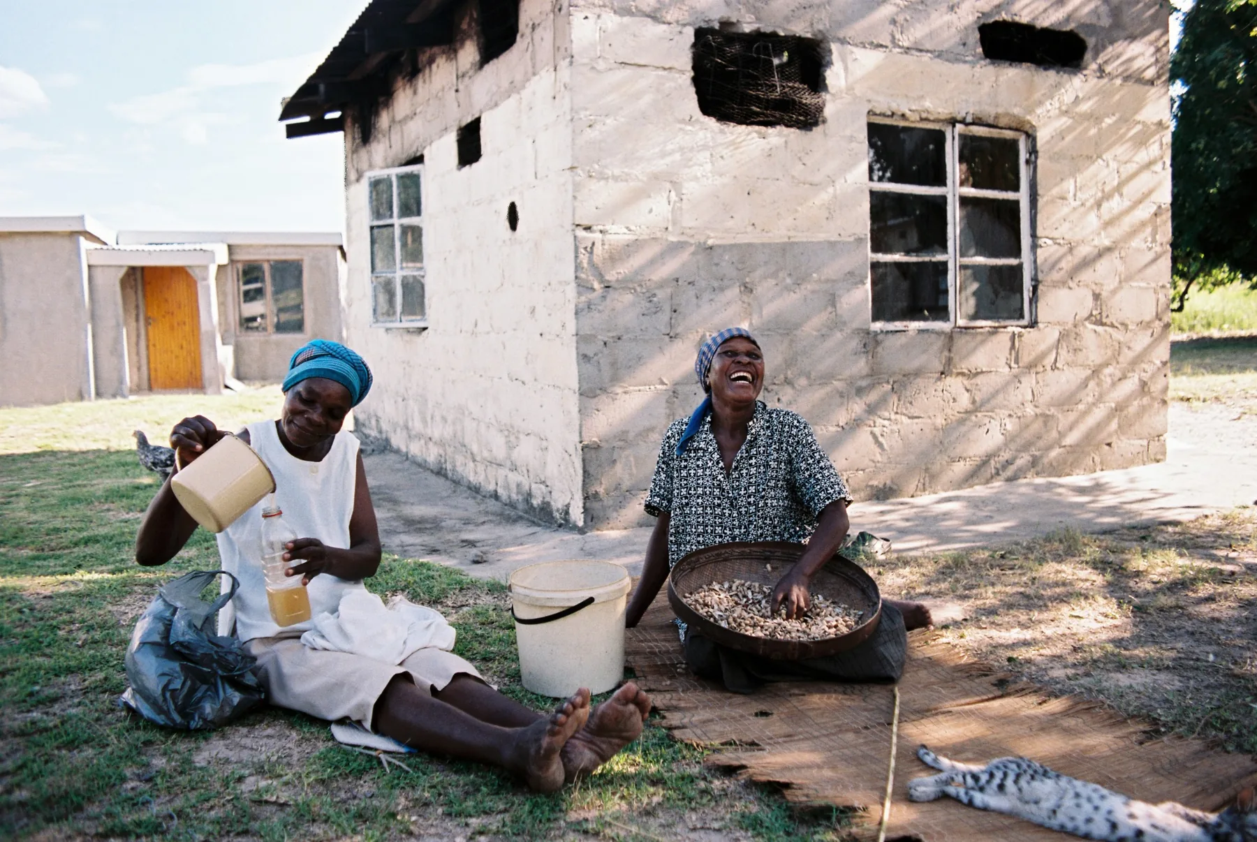
This is also home. Villages, traditional authorities, conservation areas, farms, lodges and visitor routes sit side by side. The Tembe people in particular have a long history in the north, and Tembe Elephant Park was established on land owned by the Tembe Tribal Authority.
For Visit Maputaland that changes how we describe the place. The destination is not a set of reserves with people around the edges. The people who live here, guide here, host visitors and work this landscape are a large part of why Maputaland is unlike anywhere else in South Africa.
The questions visitors ask before the region starts to make sense.
In South African travel terms, Maputaland is far northern KwaZulu-Natal, between the Lebombo Mountains and the Indian Ocean, running north to the Mozambique border. The wider ecological region continues into southern Mozambique and Eswatini.
Yes. Kosi Bay and the Kosi lake system sit in northern Maputaland close to the Mozambique border, and they are one of the region's defining landscapes.
No. They overlap a great deal but they are different things. iSimangaliso Wetland Park is a protected area covering much of the coast, lakes and wetlands. Maputaland is the wider natural and cultural region that the park sits inside.
Turtles, coral reefs, Sodwana diving, the Kosi lakes and fish kraals, Lake Sibaya, rare forest habitats, exceptional birdlife and the big-tusked elephants of Tembe.
Not everywhere. The main towns and a number of lodges are reachable in an ordinary car. Some beaches, camps and remote sections need a high-clearance or 4x4 vehicle, or a transfer arranged by the lodge. Check the region page and the individual property before you travel.
This page is a visitor-friendly overview. For protected-area, World Heritage and biodiversity detail, these are the primary and institutional sources we use.